Fast Ground-Based Synthetic—FastGBSAR-S
FastGBSAR-S is a ground based radar solution for monitoring unstable natural elements and critical artificial structures.
It is suitable for deformation monitoring of man-made structures such as mines, dams, dikes, buildings, and natural hazards,
such as slopes, landslides. A large area displacement map can be generated every 10 seconds with an accuracy of sub-
millimeters and a distance of up to 4 km.
The FastGBSAR-S is unique for two main reasons:
• Short acquisition time: one image is produced in 4 seconds, which reduces sensitivity to changes in the scenario (weather
changes, passing objects) and improves the image quality.
• Short acquisition Interval: one image is acquired every 10 seconds, which minimizes issues due to phase unwrapping and
captures faster changes and deformations.
Technical parameter
Operating frequency | 17.2 GHz (Ku Band) |
Spatial resolution | 0.5 m x 4.8 mrad |
Operating range | 10m to 4km |
Scan Aquisition time | 4.0s |
Time between two aquisitions | 10s |
EIRP Power | 19 to 42dBm |
Accuracy | ±0.1 mm |
System weight | 145kg |
Environment | IP65 |
Operating temperature range | -20 ˚C to 60 ˚C |
Power consumption | <200W |
Application
|
|
|
|
| |
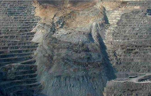
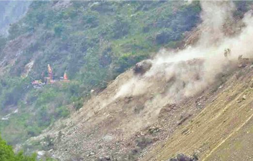
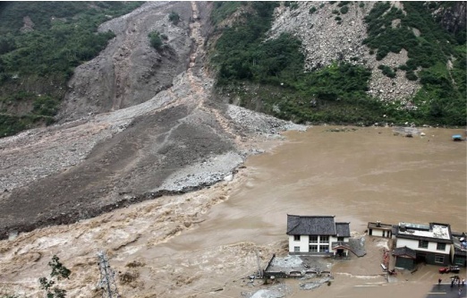
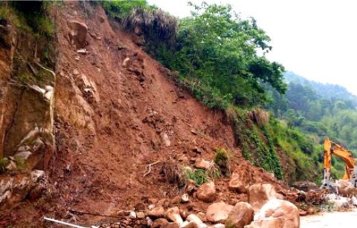
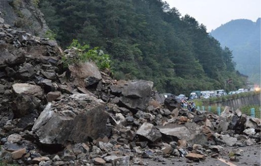
Landslide and landslide warning monitoring during mine construction | Landslide and landslide warning monitoring of tailings | Debris flow warning monitoring | |||
|
|
| |||
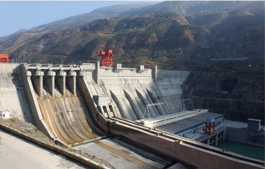
Small displacement of landslide area and dam and early warning monitoring of landslide | Early warning monitoring of landslides and landslides on highway slope protection and railway slope protection | Landslide warning monitoring of mountain, surface and seismic belt |
